
Sungai Jati topographic map
Interactive map
Click on the map to display elevation.
About this map
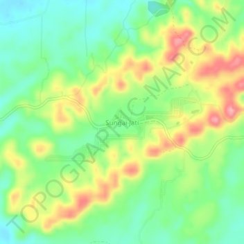
Name: Sungai Jati topographic map, elevation, terrain.
Location: Sungai Jati, Banjar, South Kalimantan, Indonesia (-3.37205 115.01104 -3.33205 115.05104)
Average elevation: 213 ft
Minimum elevation: 46 ft
Maximum elevation: 453 ft