
Moultrie topographic map
Interactive map
Click on the map to display elevation.
About this map
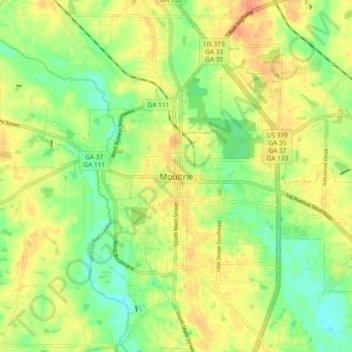
Name: Moultrie topographic map, elevation, terrain.
Location: Moultrie, Colquitt County, Georgia, 31776, United States (31.14000 -83.82879 31.22000 -83.74879)
Average elevation: 295 ft
Minimum elevation: 223 ft
Maximum elevation: 361 ft