
Kellys Ford topographic map
Interactive map
Click on the map to display elevation.
About this map
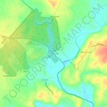
Name: Kellys Ford topographic map, elevation, terrain.
Location: Kellys Ford, Culpeper County, Virginia, 22712, United States (38.45735 -77.79999 38.49735 -77.75999)
Average elevation: 276 ft
Minimum elevation: 203 ft
Maximum elevation: 377 ft