
Brewer topographic map
Interactive map
Click on the map to display elevation.
About this map
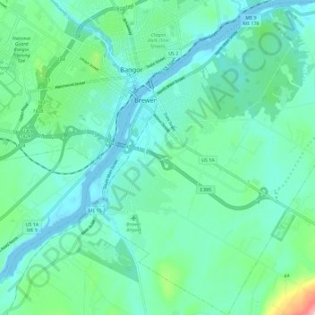
Name: Brewer topographic map, elevation, terrain.
Location: Brewer, Penobscot County, Maine, 04412, United States (44.74009 -68.78755 44.82148 -68.68462)
Average elevation: 118 ft
Minimum elevation: -16 ft
Maximum elevation: 620 ft