
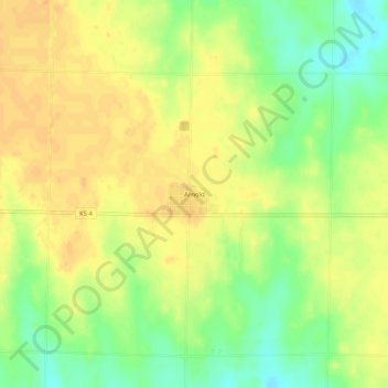
Arnold topographic map
Interactive map
Click on the map to display elevation.
About this map
Name: Arnold topographic map, elevation, terrain.
Location: Arnold, Ness County, Kansas, 67515, United States (38.62029 -100.06624 38.66029 -100.02624)
Average elevation: 2,546 ft
Minimum elevation: 2,480 ft
Maximum elevation: 2,585 ft