
Breckenridge topographic map
Interactive map
Click on the map to display elevation.
About this map
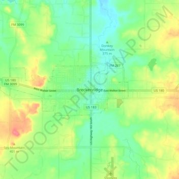
Name: Breckenridge topographic map, elevation, terrain.
Location: Breckenridge, Stephens County, Texas, 76424, United States (32.71584 -98.94326 32.79584 -98.86326)
Average elevation: 1,243 ft
Minimum elevation: 1,158 ft
Maximum elevation: 1,381 ft