
Houston topographic map
Interactive map
Click on the map to display elevation.
About this map
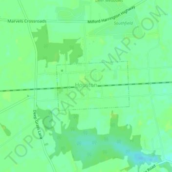
Name: Houston topographic map, elevation, terrain.
Location: Houston, Kent County, Delaware, United States (38.91354 -75.51121 38.92128 -75.49645)
Average elevation: 49 ft
Minimum elevation: 26 ft
Maximum elevation: 59 ft