
Lares topographic map
Interactive map
Click on the map to display elevation.
About this map
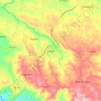
Name: Lares topographic map, elevation, terrain.
Location: Lares, Puerto Rico, 00669, United States (18.25525 -66.91776 18.33525 -66.83776)
Average elevation: 1,214 ft
Minimum elevation: 456 ft
Maximum elevation: 1,824 ft