
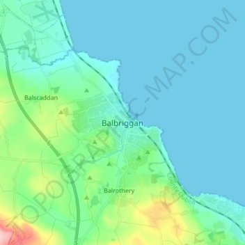
Balbriggan topographic map
Interactive map
Click on the map to display elevation.
About this map
Name: Balbriggan topographic map, elevation, terrain.
Location: Balbriggan, Fingal, County Dublin, Leinster, K32 TW27, Ireland (53.56983 -6.22620 53.64983 -6.14620)
Average elevation: 82 ft
Minimum elevation: -3 ft
Maximum elevation: 515 ft
Other topographic maps
Click on a map to view its topography, its elevation and its terrain.
Bremore
Ireland > County Dublin > Balbriggan
Bremore, Bremore Cottages, Balbriggan Rural DED 1986, Balbriggan, Fingal, County Dublin, Leinster, Ireland
Average elevation: 59 ft