
Misrata topographic map
Interactive map
Click on the map to display elevation.
About this map
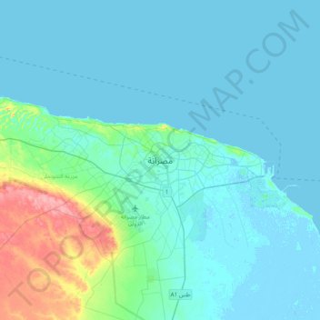
Name: Misrata topographic map, elevation, terrain.
Location: Misrata, Bani Walid, Libya (32.21459 14.93058 32.53459 15.25058)
Average elevation: 39 ft
Minimum elevation: -30 ft
Maximum elevation: 282 ft
Other topographic maps
Click on a map to view its topography, its elevation and its terrain.