
Portola topographic map
Interactive map
Click on the map to display elevation.
About this map
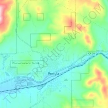
Name: Portola topographic map, elevation, terrain.
Location: Portola, Plumas County, California, United States (39.79166 -120.49563 39.84991 -120.45405)
Average elevation: 5,148 ft
Minimum elevation: 4,813 ft
Maximum elevation: 6,056 ft