
San Antonio topographic map
Interactive map
Click on the map to display elevation.
About this map
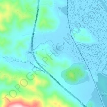
Name: San Antonio topographic map, elevation, terrain.
Location: San Antonio, Marin County, California, United States (38.16381 -122.61137 38.20381 -122.57137)
Average elevation: 151 ft
Minimum elevation: -10 ft
Maximum elevation: 925 ft