
Sunset Point topographic map
Interactive map
Click on the map to display elevation.
About this map
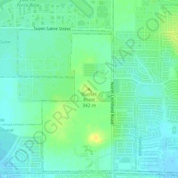
Name: Sunset Point topographic map, elevation, terrain.
Average elevation: 1,076 ft
Minimum elevation: 1,050 ft
Maximum elevation: 1,122 ft
Other topographic maps
Click on a map to view its topography, its elevation and its terrain.
Glendale
United States > Arizona > Maricopa County > Glendale
Glendale, Maricopa County, Arizona, 85301, United States
Average elevation: 1,175 ft