
Beulah topographic map
Interactive map
Click on the map to display elevation.
About this map
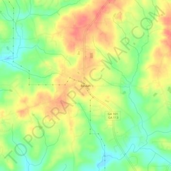
Name: Beulah topographic map, elevation, terrain.
Location: Beulah, Paulding County, Georgia, United States (33.85871 -85.02411 33.89871 -84.98411)
Average elevation: 1,234 ft
Minimum elevation: 1,135 ft
Maximum elevation: 1,329 ft