
Neer topographic map
Interactive map
Click on the map to display elevation.
About this map
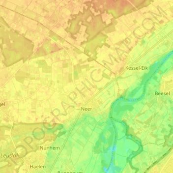
Name: Neer topographic map, elevation, terrain.
Location: Neer, Leudal, Limburg, Netherlands (51.23395 5.91933 51.30999 6.01101)
Average elevation: 89 ft
Minimum elevation: 26 ft
Maximum elevation: 125 ft