
Wołomin topographic map
Interactive map
Click on the map to display elevation.
About this map
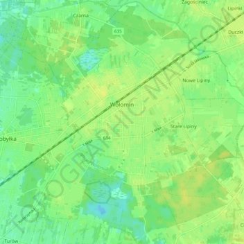
Name: Wołomin topographic map, elevation, terrain.
Average elevation: 315 ft
Minimum elevation: 285 ft
Maximum elevation: 338 ft
Other topographic maps
Click on a map to view its topography, its elevation and its terrain.
Kobyłka
Poland > Masovian Voivodeship > Wołomin County > Kobyłka
Kobyłka, Wołomin County, Masovian Voivodeship, Poland
Average elevation: 305 ft