
EPLS topographic map
Interactive map
Click on the map to display elevation.
About this map
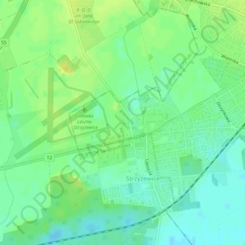
Name: EPLS topographic map, elevation, terrain.
Average elevation: 299 ft
Minimum elevation: 272 ft
Maximum elevation: 325 ft
Other topographic maps
Click on a map to view its topography, its elevation and its terrain.
Leszno
Poland > Greater Poland Voivodeship > Leszno
Leszno, Greater Poland Voivodeship, Poland
Average elevation: 322 ft