
Hà Giang topographic map
Interactive map
Click on the map to display elevation.
About this map
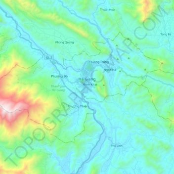
Name: Hà Giang topographic map, elevation, terrain.
Location: Hà Giang, Hà Giang Province, Vietnam (22.75492 104.86435 22.87895 105.07506)
Average elevation: 1,302 ft
Minimum elevation: 272 ft
Maximum elevation: 6,430 ft