
Echo Lake topographic map
Interactive map
Click on the map to display elevation.
About this map
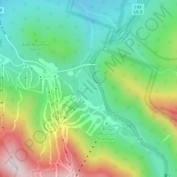
Name: Echo Lake topographic map, elevation, terrain.
Average elevation: 2,274 ft
Minimum elevation: 1,598 ft
Maximum elevation: 3,593 ft
Other topographic maps
Click on a map to view its topography, its elevation and its terrain.
Franconia
United States > New Hampshire > Grafton County > Franconia
Franconia, Grafton County, New Hampshire, 03580, United States
Average elevation: 1,152 ft