
Superior topographic map
Interactive map
Click on the map to display elevation.
About this map
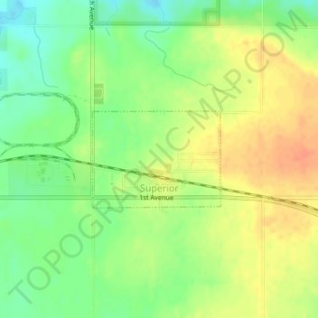
Name: Superior topographic map, elevation, terrain.
Location: Superior, Dickinson County, Iowa, 51363, United States (43.42961 -94.95424 43.43782 -94.93926)
Average elevation: 1,490 ft
Minimum elevation: 1,421 ft
Maximum elevation: 1,552 ft