
Soma topographic map
Interactive map
Click on the map to display elevation.
About this map
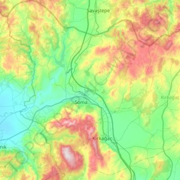
Name: Soma topographic map, elevation, terrain.
Location: Soma, Manisa, Aegean Region, Turkey (39.01452 27.40000 39.40712 27.80696)
Average elevation: 1,263 ft
Minimum elevation: 138 ft
Maximum elevation: 3,953 ft