
Adams topographic map
Interactive map
Click on the map to display elevation.
About this map
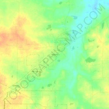
Name: Adams topographic map, elevation, terrain.
Location: Adams, Paris, Lamar County, Texas, 75462, United States (33.68483 -95.50801 33.72483 -95.46801)
Average elevation: 502 ft
Minimum elevation: 436 ft
Maximum elevation: 554 ft