
Chatsworth topographic map
Interactive map
Click on the map to display elevation.
About this map
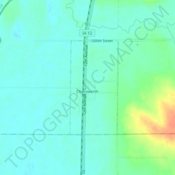
Name: Chatsworth topographic map, elevation, terrain.
Location: Chatsworth, Sioux County, Iowa, 51011, United States (42.90902 -96.51965 42.92353 -96.50947)
Average elevation: 1,171 ft
Minimum elevation: 1,135 ft
Maximum elevation: 1,276 ft