
Tanner topographic map
Interactive map
Click on the map to display elevation.
About this map
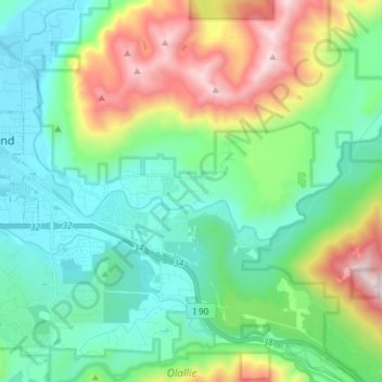
Name: Tanner topographic map, elevation, terrain.
Location: Tanner, King County, Washington, 98045, United States (47.46552 -121.79313 47.49966 -121.64610)
Average elevation: 1,634 ft
Minimum elevation: 394 ft
Maximum elevation: 4,852 ft