
Williamstown topographic map
Interactive map
Click on the map to display elevation.
About this map
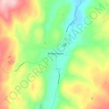
Name: Williamstown topographic map, elevation, terrain.
Location: Williamstown, Orange County, Vermont, 05679, United States (44.10210 -72.56204 44.14210 -72.52204)
Average elevation: 1,115 ft
Minimum elevation: 741 ft
Maximum elevation: 1,575 ft