
Gaza topographic map
Interactive map
Click on the map to display elevation.
About this map
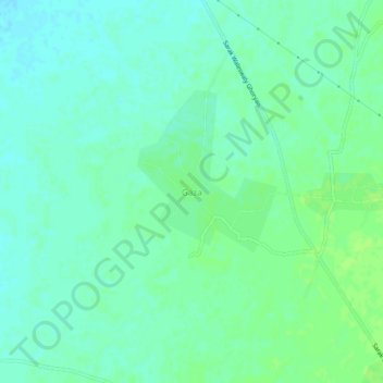
Name: Gaza topographic map, elevation, terrain.
Location: Gaza, Ghurian, Herat Province, Afghanistan (34.36047 61.43810 34.40047 61.47810)
Average elevation: 2,579 ft
Minimum elevation: 2,562 ft
Maximum elevation: 2,595 ft