
Kalavapudi topographic map
Interactive map
Click on the map to display elevation.
About this map
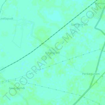
Name: Kalavapudi topographic map, elevation, terrain.
Location: Kalavapudi, Mandavalli, Krishna, Andhra Pradesh, 521345, India (16.47291 81.11570 16.51291 81.15570)
Average elevation: 13 ft
Minimum elevation: 3 ft
Maximum elevation: 23 ft
Other topographic maps
Click on a map to view its topography, its elevation and its terrain.
Kalavapudi
India > Andhra Pradesh > Kalavapudi
Kalavapudi, Gudlavalleru, Krishna, Andhra Pradesh, 521356, India
Average elevation: 26 ft