
Cape May topographic map
Interactive map
Click on the map to display elevation.
About this map
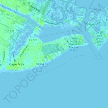
Name: Cape May topographic map, elevation, terrain.
Location: Cape May, Cape May County, New Jersey, United States (38.92546 -74.93880 38.95215 -74.86384)
Average elevation: 3 ft
Minimum elevation: -30 ft
Maximum elevation: 30 ft
Other topographic maps
Click on a map to view its topography, its elevation and its terrain.
Cape May
United States > New Jersey > Cape May County > Cape May > Cape May
Cape May, Cape May County, New Jersey, 18204, United States
Average elevation: 3 ft