
Independence topographic map
Interactive map
Click on the map to display elevation.
About this map
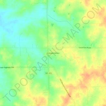
Name: Independence topographic map, elevation, terrain.
Location: Independence, Tate County, Mississippi, 38638, United States (34.68510 -89.82898 34.72510 -89.78898)
Average elevation: 335 ft
Minimum elevation: 272 ft
Maximum elevation: 397 ft