
Campbell Hill topographic map
Interactive map
Click on the map to display elevation.
About this map
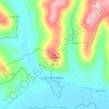
Name: Campbell Hill topographic map, elevation, terrain.
Location: Campbell Hill, Pike County, Ohio, United States (39.10780 -83.26135 39.10790 -83.26125)
Average elevation: 814 ft
Minimum elevation: 610 ft
Maximum elevation: 1,240 ft
Other topographic maps
Click on a map to view its topography, its elevation and its terrain.
Waverly
United States > Ohio > Pike County
Waverly, Pee Pee Township, Pike County, Ohio, United States
Average elevation: 630 ft
Idaho
United States > Ohio > Pike County
Idaho, Pike County, Ohio, United States
Average elevation: 781 ft