Darin Qaleh topographic map
Interactive map
Click on the map to display elevation.
About this map
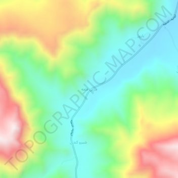
Name: Darin Qaleh topographic map, elevation, terrain.
Average elevation: 5,331 ft
Minimum elevation: 4,426 ft
Maximum elevation: 6,877 ft

Click on the map to display elevation.
Name: Darin Qaleh topographic map, elevation, terrain.
Average elevation: 5,331 ft
Minimum elevation: 4,426 ft
Maximum elevation: 6,877 ft