
Port Gamble topographic map
Interactive map
Click on the map to display elevation.
About this map
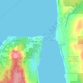
Name: Port Gamble topographic map, elevation, terrain.
Average elevation: 102 ft
Minimum elevation: -3 ft
Maximum elevation: 430 ft
Other topographic maps
Click on a map to view its topography, its elevation and its terrain.
Hood Canal
United States > Washington > Kitsap County > Port Gamble
Hood Canal, Port Gamble, Kitsap County, Washington, United States
Average elevation: 942 ft