
Culleredo topographic map
Interactive map
Click on the map to display elevation.
About this map
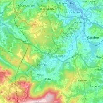
Name: Culleredo topographic map, elevation, terrain.
Location: Culleredo, Teo, Galicia, Spain (43.22511 -8.47002 43.33026 -8.35328)
Average elevation: 430 ft
Minimum elevation: 0 ft
Maximum elevation: 1,699 ft