
La Estanca topographic map
Interactive map
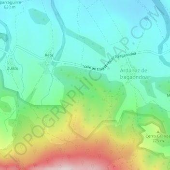
Click on the map to display elevation.
About this map
Name: La Estanca topographic map, elevation, terrain.
Location: La Estanca, Izagaondoa, Navarra, España (42.72408 -1.44224 42.74408 -1.42224)
Average elevation: 2,264 ft
Minimum elevation: 1,821 ft
Maximum elevation: 3,330 ft