
Tanjung Raya topographic map
Interactive map
Click on the map to display elevation.
About this map
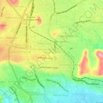
Name: Tanjung Raya topographic map, elevation, terrain.
Location: Tanjung Raya, Lampung, 35119, Indonesia (-5.44338 105.24814 -5.40338 105.28814)
Average elevation: 262 ft
Minimum elevation: 3 ft
Maximum elevation: 581 ft