
Pelinkbos topographic map
Interactive map
Click on the map to display elevation.
About this map
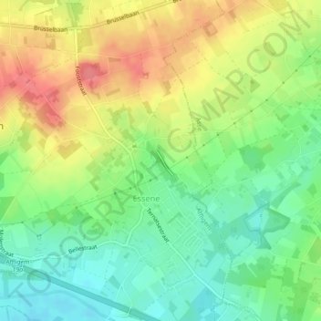
Name: Pelinkbos topographic map, elevation, terrain.
Average elevation: 131 ft
Minimum elevation: 26 ft
Maximum elevation: 256 ft
Other topographic maps
Click on a map to view its topography, its elevation and its terrain.
Teralfene
België > Vlaanderen > Affligem
Teralfene, Affligem, Halle-Vilvoorde, Vlaams-Brabant, Vlaanderen, België
Average elevation: 62 ft