
Glennallen topographic map
Interactive map
Click on the map to display elevation.
About this map
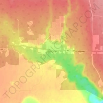
Name: Glennallen topographic map, elevation, terrain.
Location: Glennallen, Valdez-Cordova, Alaska, USA (62.08725 -145.55021 62.12725 -145.51021)
Average elevation: 1,450 ft
Minimum elevation: 1,250 ft
Maximum elevation: 1,542 ft