
Goliad topographic map
Interactive map
Click on the map to display elevation.
About this map
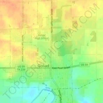
Name: Goliad topographic map, elevation, terrain.
Location: Goliad, Goliad County, Texas, 77967, United States (28.65794 -97.40456 28.68804 -97.38129)
Average elevation: 190 ft
Minimum elevation: 115 ft
Maximum elevation: 246 ft