Issancourt-et-Rumel topographic map
Interactive map
Click on the map to display elevation.
About this map
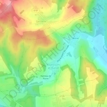
Name: Issancourt-et-Rumel topographic map, elevation, terrain.
Average elevation: 748 ft
Minimum elevation: 561 ft
Maximum elevation: 988 ft

Click on the map to display elevation.
Name: Issancourt-et-Rumel topographic map, elevation, terrain.
Average elevation: 748 ft
Minimum elevation: 561 ft
Maximum elevation: 988 ft