
D 25 topographic map
Interactive map
Click on the map to display elevation.
About this map
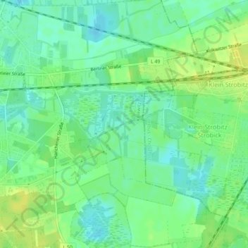
Name: D 25 topographic map, elevation, terrain.
Location: D 25, Kolkwitz, Spree-Neiße, Brandenburg, 03099, Germany (51.74410 14.27201 51.74420 14.27211)
Average elevation: 223 ft
Minimum elevation: 194 ft
Maximum elevation: 249 ft
Other topographic maps
Click on a map to view its topography, its elevation and its terrain.
D 19
Germany > Brandenburg > Kolkwitz
D 19, Kolkwitz, Spree-Neiße, Brandenburg, 03099, Germany
Average elevation: 217 ft
D 32
Germany > Brandenburg > Kolkwitz
D 32, Kolkwitz, Spree-Neiße, Brandenburg, 03099, Germany
Average elevation: 233 ft