
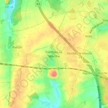
Forchies-la-Marche topographic map
Interactive map
Click on the map to display elevation.
About this map
Name: Forchies-la-Marche topographic map, elevation, terrain.
Average elevation: 561 ft
Minimum elevation: 453 ft
Maximum elevation: 666 ft
Other topographic maps
Click on a map to view its topography, its elevation and its terrain.
Leernes
Belgique > Hainaut > Charleroi > Fontaine-l'Évêque
Leernes, Fontaine-l'Évêque, Charleroi, Hainaut, Wallonie, 6142, Belgique
Average elevation: 512 ft