
La Tagua topographic map
Interactive map
Click on the map to display elevation.
About this map
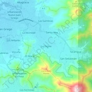
Name: La Tagua topographic map, elevation, terrain.
Location: La Tagua, Municipio Gómez, Nueva Esparta, 6323, Venezuela (11.01714 -63.96836 11.09714 -63.88836)
Average elevation: 413 ft
Minimum elevation: -13 ft
Maximum elevation: 2,523 ft