
Brda topographic map
Interactive map
Click on the map to display elevation.
About this map
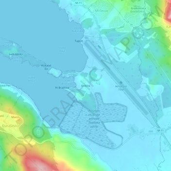
Name: Brda topographic map, elevation, terrain.
Location: Brda, Tivat Municipality, 85320, Montenegro (42.38296 18.69361 42.42296 18.73361)
Average elevation: 72 ft
Minimum elevation: -13 ft
Maximum elevation: 604 ft