
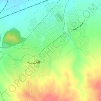
Mdhila topographic map
Interactive map
Click on the map to display elevation.
About this map
Name: Mdhila topographic map, elevation, terrain.
Location: Mdhila, Mdhila Centre, Mdhila, Gafsa, Tunisie (34.27694 8.73782 34.30299 8.76602)
Average elevation: 889 ft
Minimum elevation: 794 ft
Maximum elevation: 1,010 ft