
Kajran topographic map
Interactive map
Click on the map to display elevation.
About this map
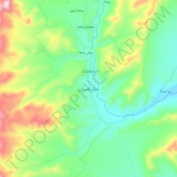
Name: Kajran topographic map, elevation, terrain.
Location: Kajran, Daykundi, Afghanistan (33.16727 65.42944 33.24727 65.50944)
Average elevation: 5,059 ft
Minimum elevation: 4,285 ft
Maximum elevation: 6,650 ft