
Chirala topographic map
Interactive map
Click on the map to display elevation.
About this map
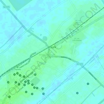
Name: Chirala topographic map, elevation, terrain.
Location: Chirala, Prakasam, Andhra Pradesh, 523155, India (15.82356 80.35840 15.84604 80.37961)
Average elevation: 20 ft
Minimum elevation: 7 ft
Maximum elevation: 36 ft