
Pennsville topographic map
Interactive map
Click on the map to display elevation.
About this map
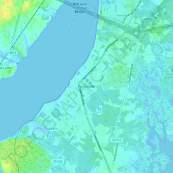
Name: Pennsville topographic map, elevation, terrain.
Location: Pennsville, Salem County, New Jersey, 08070, USA (39.61345 -75.55659 39.69345 -75.47659)
Average elevation: 10 ft
Minimum elevation: -10 ft
Maximum elevation: 69 ft