
Lagos Island topographic map
Interactive map
Click on the map to display elevation.
About this map
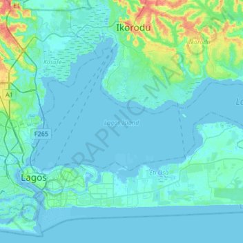
Name: Lagos Island topographic map, elevation, terrain.
Location: Lagos Island, Lagos, Nigeria (6.43439 3.37505 6.59719 3.64253)
Average elevation: 20 ft
Minimum elevation: -13 ft
Maximum elevation: 167 ft