
Brierley Hill topographic map
Interactive map
Click on the map to display elevation.
About this map
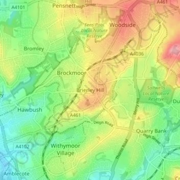
Name: Brierley Hill topographic map, elevation, terrain.
Average elevation: 394 ft
Minimum elevation: 223 ft
Maximum elevation: 630 ft
Other topographic maps
Click on a map to view its topography, its elevation and its terrain.
Kingswinford
United Kingdom > England > Dudley
Kingswinford, Dudley, West Midlands Combined Authority, England, DY6 8AG, United Kingdom
Average elevation: 312 ft