
Edna topographic map
Interactive map
Click on the map to display elevation.
About this map
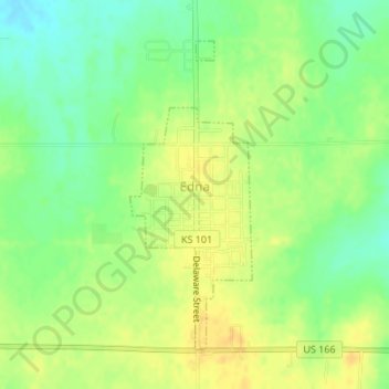
Name: Edna topographic map, elevation, terrain.
Location: Edna, Labette County, Kansas, USA (37.04845 -95.36507 37.06987 -95.35443)
Average elevation: 965 ft
Minimum elevation: 912 ft
Maximum elevation: 1,004 ft